|
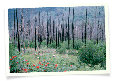
The Canadian governments, and other relevant agencies, have increased concerns about individual and community preparedness for disasters, which are defined as the impact from natural hazards, technological hazards or conflict (not including war). Wildfires are particularly worrisome because they have affected 250 communities and 700,000 individuals in Canada in the last ten years. Read More
|
|
Crowsnest Pass, Alberta
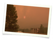 The Crowsnest Pass is geographically located in the southwest corner of The Crowsnest Pass is geographically located in the southwest corner of
Alberta situated within the Canadian
Mountains.The Municipality
of the Crowsnest Pass was incorporated effective January 1, 1979 as a
single municipality with the consensual amalgamation of the towns of
Coleman and Blairmore, the villages of Bellvue and Frank, Improvement District #5 with 13 hamlets (the largest being Hillcrest Mines), and a
portion of Improvement District #6. Read More...
|
|
Barriere, British Columbia
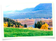 The community of Barriere rests in the mountains at the south end of the North Thompson Valley of central British Columbia. Barriere is situated on the Yellowhead Highway #5 (constructed about 40 years ago), 45 minutes or 66 km (41 miles) north of Kamloops, BC. Continuing north on Highway #5, the town of Clearwater is 58 km farther up the valley. Read More The community of Barriere rests in the mountains at the south end of the North Thompson Valley of central British Columbia. Barriere is situated on the Yellowhead Highway #5 (constructed about 40 years ago), 45 minutes or 66 km (41 miles) north of Kamloops, BC. Continuing north on Highway #5, the town of Clearwater is 58 km farther up the valley. Read More
|
La Ronge, Saskatchewan
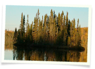 The community of La Ronge is located in the geographic centre of Saskatchewan as the largest settlement north of Prince Albert. In 1948, Highway 2 was completed and connected the two cities, changing the perception of the northern area from water-based to highway-based travel. Read More The community of La Ronge is located in the geographic centre of Saskatchewan as the largest settlement north of Prince Albert. In 1948, Highway 2 was completed and connected the two cities, changing the perception of the northern area from water-based to highway-based travel. Read More |
|
Slave Lake, Alberta
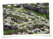 Slave Lake is a rural community located in Northern Alberta, on the south and southeast shore of Lesser Slave Lake. On May 14 and 15, 2011, it suffered a massive wildfire event that forced the evacuation of the entire population of the Town of Slave Lake (approximately 7,000 residents), the Sawridge First Nation and some residents of the Municipal District of Lesser Slave River No. 124. Read More... Slave Lake is a rural community located in Northern Alberta, on the south and southeast shore of Lesser Slave Lake. On May 14 and 15, 2011, it suffered a massive wildfire event that forced the evacuation of the entire population of the Town of Slave Lake (approximately 7,000 residents), the Sawridge First Nation and some residents of the Municipal District of Lesser Slave River No. 124. Read More...
|
 The community of La Ronge is located in the geographic centre of Saskatchewan as the largest settlement north of Prince Albert. In 1948, Highway 2 was completed and connected the two cities, changing the perception of the northern area from water-based to highway-based travel. Read More



 The Crowsnest Pass is geographically located in the southwest corner of
 The community of Barriere rests in the mountains at the south end of the North Thompson Valley of central British Columbia. Barriere is situated on the Yellowhead Highway #5 (constructed about 40 years ago), 45 minutes or 66 km (41 miles) north of Kamloops, BC. Continuing north on Highway #5, the town of Clearwater is 58 km farther up the valley.
  Slave Lake is a rural community located in Northern Alberta, on the south and southeast shore of Lesser Slave Lake. On May 14 and 15, 2011, it suffered a massive wildfire event that forced the evacuation of the entire population of the Town of Slave Lake (approximately 7,000 residents), the Sawridge First Nation and some residents of the Municipal District of Lesser Slave River No. 124.